
Thank you for supporting this site ❤️
Make a donation
Make a donation
Gear up for your next adventure:
As an Amazon Associate, this site earns from qualifying purchases at no extra cost to you.
T'Kout topographic map
Click on the map to display elevation.
Thank you for supporting this site ❤️
Make a donation
Make a donation
Gear up for your next adventure:
As an Amazon Associate, this site earns from qualifying purchases at no extra cost to you.
About this map
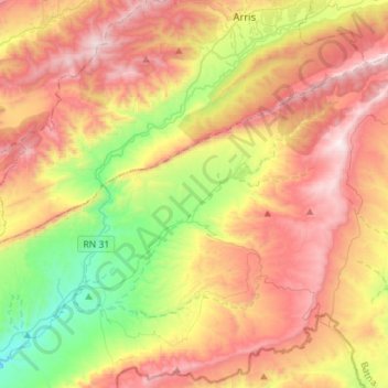
Name: T'Kout topographic map, elevation, terrain.
Location: T'Kout, T'Kout district, Batna, Algeria (35.05820 6.21927 35.24768 6.50210)
Average elevation: 4,321 ft
Minimum elevation: 2,192 ft
Maximum elevation: 6,562 ft
Thank you for supporting this site ❤️
Make a donation
Make a donation
Gear up for your next adventure:
As an Amazon Associate, this site earns from qualifying purchases at no extra cost to you.