
Make a donation
Gear up for your next adventure:
As an Amazon Associate, this site earns from qualifying purchases at no extra cost to you.
Courchevel topographic map
Click on the map to display elevation.
Make a donation
Gear up for your next adventure:
As an Amazon Associate, this site earns from qualifying purchases at no extra cost to you.
Courchevel
Son domaine skiable débute à 1 100 mètres d'altitude et est orienté au nord, en contrebas des sommets de la Croix du Verdon (2 738 m), de la Saulire (2 668 m, le point culminant de la station) et de l'Aiguille du Fruit (3 051 m),.
Make a donation
Gear up for your next adventure:
As an Amazon Associate, this site earns from qualifying purchases at no extra cost to you.
About this map
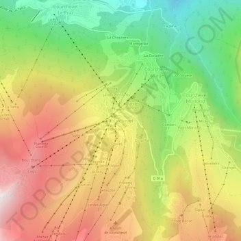
Name: Courchevel topographic map, elevation, terrain.
Average elevation: 5,623 ft
Minimum elevation: 3,251 ft
Maximum elevation: 8,107 ft
Make a donation
Gear up for your next adventure:
As an Amazon Associate, this site earns from qualifying purchases at no extra cost to you.