Geolocate

El Dahir topographic map

Click on the map to display elevation.

About this map

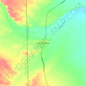
Name: El Dahir topographic map, elevation, terrain.

Location: El Dahir, Bosaso District, Bari, Puntland, Somalia (10.58629 49.00849 10.66629 49.08849)

Average elevation: 2,149 ft

Minimum elevation: 2,034 ft

Maximum elevation: 2,329 ft

Gear up for your next adventure:

📡GPS Antenna Upgrade - Enhance GPS reception in remote terrain
🦺Reflective Outdoor Gear - Safety gear for low‑light conditions
😴Insulated Sleeping Pads - Compact and warm pads for high-elevation camping
🗻Climbing Gear Basics - Essential gear for beginner climbers
🛡️Bear Spray Outdoor - Protection in bear country hikes

As an Amazon Associate, this site earns from qualifying purchases at no extra cost to you.