
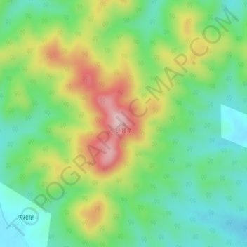
徒顶子 topographic map
Interactive map
Click on the map to display elevation.
About this map
Name: 徒顶子 topographic map, elevation, terrain.
Location: 徒顶子, 舒兰市, 吉林市, 吉林省, 中国 (44.21496 126.99864 44.21506 126.99874)
Average elevation: 1,312 ft
Minimum elevation: 1,024 ft
Maximum elevation: 1,788 ft
Other topographic maps
Click on a map to view its topography, its elevation and its terrain.