
凤凰山 topographic map
Interactive map
Click on the map to display elevation.
About this map
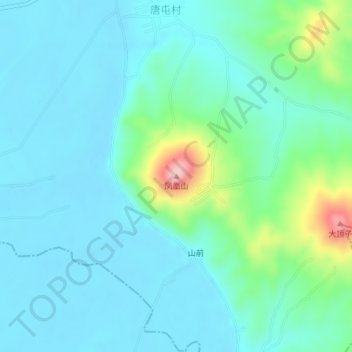
Name: 凤凰山 topographic map, elevation, terrain.
Location: 凤凰山, 舒兰市, 吉林市, 吉林省, 中国 (44.24499 126.53353 44.24509 126.53363)
Average elevation: 663 ft
Minimum elevation: 554 ft
Maximum elevation: 1,132 ft
Other topographic maps
Click on a map to view its topography, its elevation and its terrain.