Geolocate

Manota topographic map

Click on the map to display elevation.

About this map

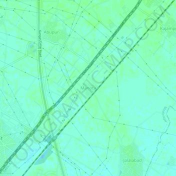
Name: Manota topographic map, elevation, terrain.

Location: Manota, Modinagar, Ghaziabad, Uttar Pradesh, India (28.76474 77.50936 28.80474 77.54936)

Average elevation: 722 ft

Minimum elevation: 709 ft

Maximum elevation: 728 ft

Gear up for your next adventure:

📷Action Cameras - Rugged cameras to document your journeys across rugged terrain
⛑️Personal Locator Beacon - Safety beacon for emergencies
🥤Water Filter Bottle - All‑in‑one filter bottle for safe hydration
🪶LED Camping Lantern - Bright lantern for camp lighting
🌲Outdoor Survival Books - Best books on survival skills

As an Amazon Associate, this site earns from qualifying purchases at no extra cost to you.