
Raymondi topographic map
Interactive map
Click on the map to display elevation.
About this map
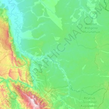
Name: Raymondi topographic map, elevation, terrain.
Location: Raymondi, Provincia de Atalaya, Ucayali, Perú (-11.17008 -74.57300 -10.12226 -72.37884)
Average elevation: 1,677 ft
Minimum elevation: 509 ft
Maximum elevation: 11,982 ft
Other topographic maps
Click on a map to view its topography, its elevation and its terrain.
Mencoriari
Mencoriari, Raymondi, Atalaya, Ucayali, Perú
Average elevation: 837 ft