Geolocate

Atalaya topographic map

Click on the map to display elevation.

Atalaya

Fue fundada el 29 de mayo de 1928 y es conocida como "La Esmeralda del Ucayali". Se encuentra a una altitud de 220 m s. n. m.

Wikipedia (CC-BY-SA 3.0)

About this map

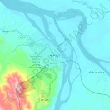
Name: Atalaya topographic map, elevation, terrain.

Location: Atalaya, Raymondi, Atalaya, Ucayali, 25201, Perú (-10.76991 -73.79488 -10.68991 -73.71488)

Average elevation: 840 ft

Minimum elevation: 636 ft

Maximum elevation: 2,021 ft

Gear up for your next adventure:

🌡️Portable Weather Meter - Track weather conditions on the trail
🧦Hiking Socks - Comfortable socks to prevent blisters on long hikes
🏕️Family Camping Gear - Essentials for group camping trips
🌲Outdoor Survival Books - Best books on survival skills
📌Outdoor GPS Map App - Apps and devices for digital topographic navigation

As an Amazon Associate, this site earns from qualifying purchases at no extra cost to you.