
Make a donation
Gear up for your next adventure:
As an Amazon Associate, this site earns from qualifying purchases at no extra cost to you.
Sciota topographic map
Click on the map to display elevation.
Make a donation
Gear up for your next adventure:
As an Amazon Associate, this site earns from qualifying purchases at no extra cost to you.
Sciota
Sciota is located in northern McDonough County at 40°33′39″N 90°45′06″W / 40.56083°N 90.75167°W / 40.56083; -90.75167 (40.5608731, -90.7517996) at an elevation of 758 feet (231 m). It is 0.5 miles (0.8 km) north of Illinois Route 9 and 10 miles (16 km) northwest of Macomb, the county seat.
Make a donation
Gear up for your next adventure:
As an Amazon Associate, this site earns from qualifying purchases at no extra cost to you.
About this map
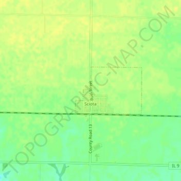
Name: Sciota topographic map, elevation, terrain.
Location: Sciota, McDonough County, Illinois, 61475, United States (40.55931 -90.75479 40.56636 -90.74174)
Average elevation: 758 ft
Minimum elevation: 715 ft
Maximum elevation: 778 ft
McDonough County trails, hiking, mountain biking, running and outdoor activities
Make a donation
Gear up for your next adventure:
As an Amazon Associate, this site earns from qualifying purchases at no extra cost to you.
Other topographic maps
Click on a map to view its topography, its elevation and its terrain.
Lamone Village
United States > Illinois > McDonough County > Macomb > Lamone Village
Average elevation: 673 ft