
Roseville topographic map
Interactive map
Click on the map to display elevation.
About this map
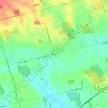
Name: Roseville topographic map, elevation, terrain.
Location: Roseville, Waterloo Region, Ontario, N0B 2E0, Canada (43.32148 -80.49593 43.36148 -80.45593)
Average elevation: 1,073 ft
Minimum elevation: 994 ft
Maximum elevation: 1,194 ft