Geolocate

Camana topographic map

Click on the map to display elevation.

About this map

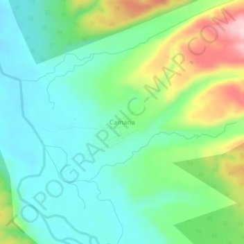
Name: Camana topographic map, elevation, terrain.

Location: Camana, Megantoni, Province of La Convención, Cusco, Peru (-12.00731 -73.14177 -11.96731 -73.10177)

Average elevation: 1,683 ft

Minimum elevation: 1,457 ft

Maximum elevation: 2,211 ft

Gear up for your next adventure:

🧭Orienteering Set - Complete compass and map reading kit
🥘Titanium Cookware - Durable, featherlight pots and pans for backpacking
🪶Thermal Camp Blanket - Extra warmth for cold nights
🗺️NatGeo Topo Maps - High-quality waterproof printed topographic maps of US Parks
🥇GPS Hiking Watch - Multi‑sport GPS watch with navigation and trail tracking

As an Amazon Associate, this site earns from qualifying purchases at no extra cost to you.