Geolocate

Geronimo topographic map

Click on the map to display elevation.

About this map

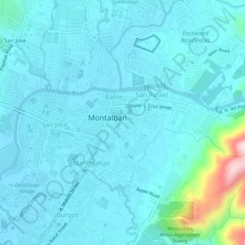
Name: Geronimo topographic map, elevation, terrain.

Location: Geronimo, Rizal, 1631, Philippines (14.71135 121.12792 14.75135 121.16792)

Average elevation: 180 ft

Minimum elevation: 30 ft

Maximum elevation: 1,378 ft

Gear up for your next adventure:

🧭Compass with Lanyard - Easy‑carry compass for navigation
🪄Magnetic Compass - Accurate compass for navigation
🥩Freeze-Dried Meals - Nutritious and lightweight food for remote expeditions
🧺Microfiber Travel Towels - Compact and fast-drying towels for trail use
🌡️Handheld Weather Meters - Measure wind, temp, and pressure for safe mountain travel

As an Amazon Associate, this site earns from qualifying purchases at no extra cost to you.