
Refuge de Trébentaz topographic map
Interactive map
Click on the map to display elevation.
About this map
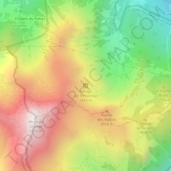
Name: Refuge de Trébentaz topographic map, elevation, terrain.
Average elevation: 5,709 ft
Minimum elevation: 3,514 ft
Maximum elevation: 7,910 ft