Geolocate

Gornji Grad topographic map

Click on the map to display elevation.

About this map

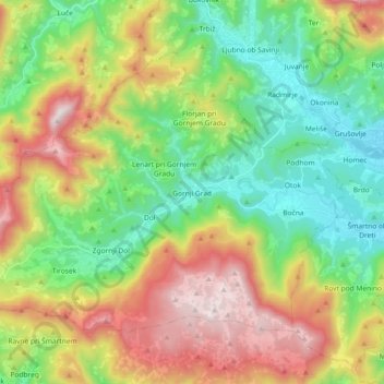
Name: Gornji Grad topographic map, elevation, terrain.

Location: Gornji Grad, 3342, Slovenia (46.24994 14.69560 46.34227 14.87880)

Average elevation: 2,612 ft

Minimum elevation: 1,198 ft

Maximum elevation: 4,948 ft

Gear up for your next adventure:

🎒Gear Packing Cubes - Organize your backpack efficiently
🧣Merino Neck Gaiters - Multi-functional headwear for wind and sun protection
🌡️Portable Weather Meter - Track weather conditions on the trail
🪶Compact Camp Shovel - Folding shovel for campsite tasks
🪶Wildlife Field Guides - Learn animal tracking and species ID

As an Amazon Associate, this site earns from qualifying purchases at no extra cost to you.