
Lynn Lake topographic map
Interactive map
Click on the map to display elevation.
About this map
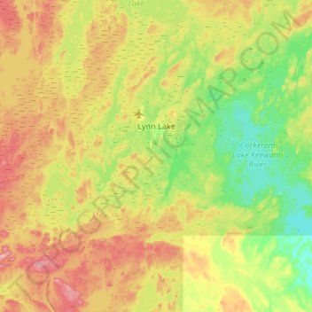
Name: Lynn Lake topographic map, elevation, terrain.
Location: Lynn Lake, Manitoba, R0B 0W0, Canada (56.68177 -101.33333 56.96667 -100.80000)
Average elevation: 1,158 ft
Minimum elevation: 1,010 ft
Maximum elevation: 1,391 ft
Other topographic maps
Click on a map to view its topography, its elevation and its terrain.
Minton Lake
Minton Lake, Lynn Lake, Manitoba, Canada
Average elevation: 1,102 ft