
Thank you for supporting this site ❤️
Make a donation
Make a donation
Gear up for your next adventure:
As an Amazon Associate, this site earns from qualifying purchases at no extra cost to you.
Terrasa topographic map
Click on the map to display elevation.
Thank you for supporting this site ❤️
Make a donation
Make a donation
Gear up for your next adventure:
As an Amazon Associate, this site earns from qualifying purchases at no extra cost to you.
About this map
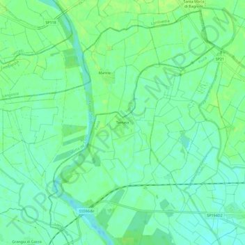
Name: Terrasa topographic map, elevation, terrain.
Location: Terrasa, Candia Lomellina, Pavia, Lombardy, 27031, Italy (45.16966 8.53970 45.20966 8.57970)
Average elevation: 341 ft
Minimum elevation: 322 ft
Maximum elevation: 358 ft
Thank you for supporting this site ❤️
Make a donation
Make a donation
Gear up for your next adventure:
As an Amazon Associate, this site earns from qualifying purchases at no extra cost to you.