Geolocate

San Pedro topographic map

Click on the map to display elevation.

About this map
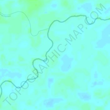
Name: San Pedro topographic map, elevation, terrain.

Location: San Pedro, Canton El Carmen, Municipio Puerto Rico, Provincia de Manuripi, Pando, Bolivia (-11.35960 -67.79531 -11.33960 -67.77531)

Average elevation: 538 ft

Minimum elevation: 528 ft

Maximum elevation: 554 ft

Other topographic maps

Click on a map to view its topography, its elevation and its terrain.

Gear up for your next adventure:

🌲Outdoor Survival Books - Best books on survival skills
📚Navigation Handbooks - Master the art of reading topographic maps and using a compass
🧣Hiking Neck Gaiter - Multi‑use neck protection for outdoor weather
🏕️Tent Footprint - Protect your tent base from wear
🧺Microfiber Travel Towels - Compact and fast-drying towels for trail use

As an Amazon Associate, this site earns from qualifying purchases at no extra cost to you.