
Kwaheri wilaya ya Chamwino topographic map
Interactive map
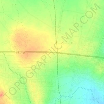
Click on the map to display elevation.
About this map
Name: Kwaheri wilaya ya Chamwino topographic map, elevation, terrain.
Location: Kwaheri wilaya ya Chamwino, Dodoma, Central Zone, Tanzania (-6.15511 35.97671 -6.11511 36.01671)
Average elevation: 3,396 ft
Minimum elevation: 3,317 ft
Maximum elevation: 3,461 ft
Other topographic maps
Click on a map to view its topography, its elevation and its terrain.