
Nadi topographic map
Interactive map
Click on the map to display elevation.
About this map
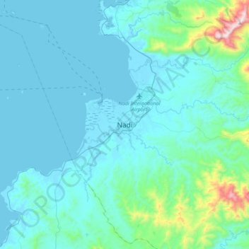
Name: Nadi topographic map, elevation, terrain.
Location: Nadi, Ba, Western, Fiji (-17.95927 177.25785 -17.63927 177.57785)
Average elevation: 374 ft
Minimum elevation: -3 ft
Maximum elevation: 3,786 ft
Other topographic maps
Click on a map to view its topography, its elevation and its terrain.