
Yasawa Islands topographic map
Interactive map
Click on the map to display elevation.
About this map
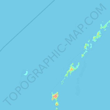
Name: Yasawa Islands topographic map, elevation, terrain.
Location: Yasawa Islands, Ba, Western, Fiji (-17.38003 176.90977 -16.65354 177.59402)
Average elevation: 3 ft
Minimum elevation: 0 ft
Maximum elevation: 1,594 ft
Other topographic maps
Click on a map to view its topography, its elevation and its terrain.