
Zenderen topographic map
Interactive map
Click on the map to display elevation.
About this map
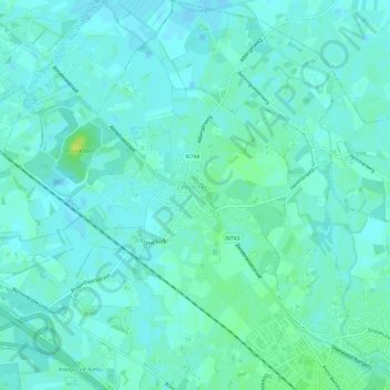
Name: Zenderen topographic map, elevation, terrain.
Location: Zenderen, Borne, Overijssel, Nederland (52.30476 6.69495 52.34121 6.75363)
Average elevation: 46 ft
Minimum elevation: 33 ft
Maximum elevation: 82 ft
Other topographic maps
Click on a map to view its topography, its elevation and its terrain.