
Hertme topographic map
Interactive map
Click on the map to display elevation.
About this map
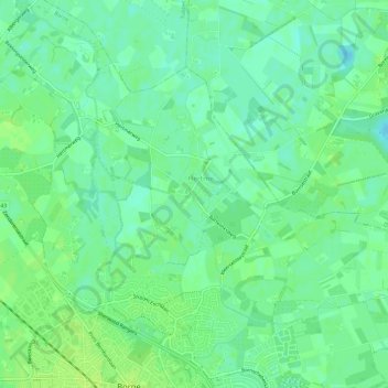
Name: Hertme topographic map, elevation, terrain.
Location: Hertme, Borne, Overijssel, Nederland (52.30764 6.74216 52.33246 6.80214)
Average elevation: 49 ft
Minimum elevation: 26 ft
Maximum elevation: 66 ft
Other topographic maps
Click on a map to view its topography, its elevation and its terrain.
Zenderen
Nederland > Overijssel > Borne
Zenderen, Borne, Overijssel, Nederland
Average elevation: 46 ft