Cothen topographic map
Interactive map
Click on the map to display elevation.
About this map
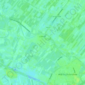
Name: Cothen topographic map, elevation, terrain.
Location: Cothen, Wijk bij Duurstede, Utrecht, Nederland (51.97910 5.24236 52.01072 5.32867)
Average elevation: 16 ft
Minimum elevation: -16 ft
Maximum elevation: 39 ft
Other topographic maps
Click on a map to view its topography, its elevation and its terrain.
Wijk bij Duurstede
Nederland > Utrecht > Wijk bij Duurstede
Wijk bij Duurstede, Utrecht, Nederland
Average elevation: 16 ft
Langbroek
Nederland > Utrecht > Wijk bij Duurstede
Langbroek, Wijk bij Duurstede, Utrecht, Nederland
Average elevation: 23 ft
Kasteel Duurstede
Nederland > Utrecht > Wijk bij Duurstede
Kasteel Duurstede, Langs de Wal, Binnenstad, Wijk bij Duurstede, Utrecht, Nederland, 3961BD, Nederland
Average elevation: 20 ft