Geolocate

Pisogno topographic map

Click on the map to display elevation.

About this map

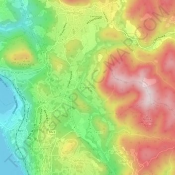
Name: Pisogno topographic map, elevation, terrain.

Location: Pisogno, Miasino, Novara, Piedmont, 28011, Italy (45.78538 8.42388 45.82538 8.46388)

Average elevation: 1,729 ft

Minimum elevation: 942 ft

Maximum elevation: 2,572 ft

Gear up for your next adventure:

😴Insulated Sleeping Pads - Compact and warm pads for high-elevation camping
🔭Telescopic Hiking Pole - Adjustable pole for hiking stability
🧦Merino Wool Socks - Moisture-wicking, blister-preventing socks for long treks
🧢Outdoor Hiking Hat - Sun protection hat for outdoor explorers
🪶Trail Camera - Capture wildlife on your hikes

As an Amazon Associate, this site earns from qualifying purchases at no extra cost to you.