Geolocate

Barbón topographic map

Click on the map to display elevation.

About this map

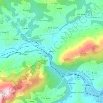
Name: Barbón topographic map, elevation, terrain.

Location: Barbón, L'Infiestu, Piloña, Asturias, 33530, Spain (43.34106 -5.40305 43.38106 -5.36305)

Average elevation: 912 ft

Minimum elevation: 453 ft

Maximum elevation: 2,093 ft

Gear up for your next adventure:

🪓Survival Multi‑Tool - Versatile tool for camp and trail tasks
🩹Survival Bandages - High‑quality bandages for emergencies
🧤Tactile Hiking Gloves - Keep hands warm while operating GPS and smartphone screens
🪶Multi‑Purpose Knife - Useful blade for camp and trail
📌Outdoor GPS Map App - Apps and devices for digital topographic navigation

As an Amazon Associate, this site earns from qualifying purchases at no extra cost to you.