
Thank you for supporting this site ❤️
Make a donation
Make a donation
Gear up for your next adventure:
As an Amazon Associate, this site earns from qualifying purchases at no extra cost to you.
گوراند topographic map
Click on the map to display elevation.
Thank you for supporting this site ❤️
Make a donation
Make a donation
Gear up for your next adventure:
As an Amazon Associate, this site earns from qualifying purchases at no extra cost to you.
About this map
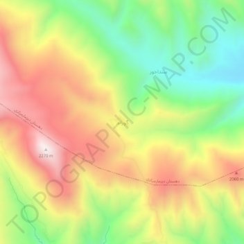
Name: گوراند topographic map, elevation, terrain.
Location: گوراند, دهستان دیزمارمرکزی, بخش خاروانا, شهرستان ورزقان, Iran (38.59370 46.15520 38.63370 46.19520)
Average elevation: 5,961 ft
Minimum elevation: 4,528 ft
Maximum elevation: 7,490 ft
Thank you for supporting this site ❤️
Make a donation
Make a donation
Gear up for your next adventure:
As an Amazon Associate, this site earns from qualifying purchases at no extra cost to you.