Geolocate

Karai topographic map

Click on the map to display elevation.

About this map

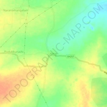
Name: Karai topographic map, elevation, terrain.

Location: Karai, Alathur, Perambalur, Tamil Nadu, 621109, India (11.11362 78.86005 11.15362 78.90005)

Average elevation: 397 ft

Minimum elevation: 331 ft

Maximum elevation: 453 ft

Gear up for your next adventure:

📚USA Hiking Guide Books - Top trail guides and map books
🔋Solar Power Banks - Keep your GPS and phone charged in remote wilderness areas
🧭Map Reading Tools - Tools and kits for map navigation
🥾Men's Hiking Boots - Durable, waterproof footwear for rugged terrain and steep inclines
🪶Camp Gear Gift Set - Perfect gift bundle for outdoor fans

As an Amazon Associate, this site earns from qualifying purchases at no extra cost to you.