Geolocate

Tees topographic map

Click on the map to display elevation.

About this map

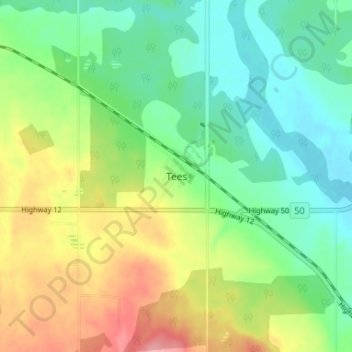
Name: Tees topographic map, elevation, terrain.

Location: Tees, Lacombe County, Alberta, Canada (52.44699 -113.34119 52.48699 -113.30119)

Average elevation: 2,746 ft

Minimum elevation: 2,621 ft

Maximum elevation: 2,953 ft

Gear up for your next adventure:

🔊Portable Camp Speaker - Music and alerts at camp
🕶️GPS Smartphone Mount - Secure mount for phone navigation
🧷Carabiner Set - Durable clips for gear attachment
🛏️Cold Weather Sleeping Bag - Warm sleeping bag for cold conditions
📷Action Camera - Capture your outdoor adventures in HD

As an Amazon Associate, this site earns from qualifying purchases at no extra cost to you.