Geolocate

Bhinmal topographic map

Click on the map to display elevation.

About this map

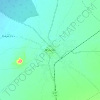
Name: Bhinmal topographic map, elevation, terrain.

Location: Bhinmal, Bhinmal Tehsil, Jalore, Rajasthan, 343029, India (24.96711 72.22531 25.04711 72.30531)

Average elevation: 502 ft

Minimum elevation: 427 ft

Maximum elevation: 860 ft

Gear up for your next adventure:

🛰️Satellite Messengers - Emergency SOS and two-way messaging for off-grid adventures
🪑Ultralight Camp Chairs - Portable seating for resting after a long day of mapping
🧦Hiking Socks - Comfortable socks to prevent blisters on long hikes
🔭Stargazing Telescopes - Perfect for camping in low-light pollution areas shown on maps
🔥Camping Stove - Portable stove for camping and backcountry cooking

As an Amazon Associate, this site earns from qualifying purchases at no extra cost to you.