Geolocate

Sigodu topographic map

Click on the map to display elevation.

About this map

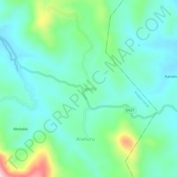
Name: Sigodu topographic map, elevation, terrain.

Location: Sigodu, Koppa taluk, Chikkamagaluru, Karnataka, 577112, India (13.32940 75.40922 13.36940 75.44922)

Average elevation: 2,628 ft

Minimum elevation: 2,369 ft

Maximum elevation: 3,481 ft

Other topographic maps

Click on a map to view its topography, its elevation and its terrain.

Koppa

India > Karnataka > Koppa taluk

Average elevation: 2,520 ft

Gear up for your next adventure:

🚗GPS Dash Cams - Record your scenic drives through mountain passes and canyons
🪶Fire Starter Kit - Reliable fire starter for survival and camping
🏫Relief Map Kits - Hands-on tools for teaching landforms and elevation
🔌USB Car Charger - Car charger for on‑the‑go power needs
🖼️Topo Map Wall Art - Decorative topographic prints of famous peaks and regions

As an Amazon Associate, this site earns from qualifying purchases at no extra cost to you.