
Thank you for supporting this site ❤️
Make a donation
Make a donation
Gear up for your next adventure:
As an Amazon Associate, this site earns from qualifying purchases at no extra cost to you.
Jati topographic map
Click on the map to display elevation.
Thank you for supporting this site ❤️
Make a donation
Make a donation
Gear up for your next adventure:
As an Amazon Associate, this site earns from qualifying purchases at no extra cost to you.
About this map
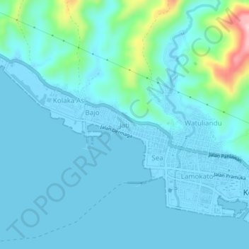
Name: Jati topographic map, elevation, terrain.
Location: Jati, Kolaka, Southeast Sulawesi, Sulawesi, Indonesia (-4.06880 121.56440 -4.02880 121.60440)
Average elevation: 92 ft
Minimum elevation: -16 ft
Maximum elevation: 741 ft
Thank you for supporting this site ❤️
Make a donation
Make a donation
Gear up for your next adventure:
As an Amazon Associate, this site earns from qualifying purchases at no extra cost to you.