Geolocate

Malsan-ri topographic map

Click on the map to display elevation.

About this map

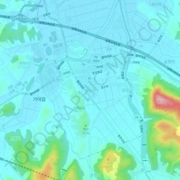
Name: Malsan-ri topographic map, elevation, terrain.

Location: Malsan-ri, Haman-gun, South Gyeongsang, 52043, South Korea (35.25317 128.38945 35.29317 128.42945)

Average elevation: 105 ft

Minimum elevation: 13 ft

Maximum elevation: 689 ft

Gear up for your next adventure:

🗺️Topographic Maps - Detailed topo maps for hiking, exploring and outdoor navigation
🪑Ultralight Camp Chairs - Portable seating for resting after a long day of mapping
🦺Reflective Outdoor Gear - Safety gear for low‑light conditions
🪶Survival Guide Book - Expert advice for emergency preparedness
🌲Outdoor Survival Books - Best books on survival skills

As an Amazon Associate, this site earns from qualifying purchases at no extra cost to you.