Geolocate

River Valley topographic map

Click on the map to display elevation.

About this map

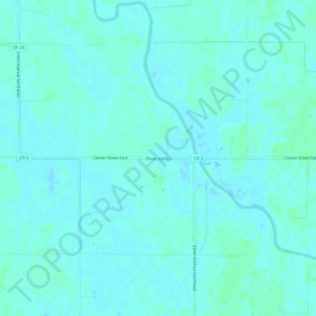
Name: River Valley topographic map, elevation, terrain.

Location: River Valley, Pennington County, Minnesota, United States (48.00024 -95.80224 48.04024 -95.76224)

Average elevation: 1,158 ft

Minimum elevation: 1,152 ft

Maximum elevation: 1,171 ft

Other topographic maps

Click on a map to view its topography, its elevation and its terrain.

Gear up for your next adventure:

🧯Portable Fire Pit - Compact fire pit for camping spots
🦟Ultrasonic Repellers - Create a bug-free zone at your camp or rest stop
🗃️Trail First Aid Kit - Essential kit for outdoor injuries and emergencies
🧴Hand Sanitizer - Keep hands clean while hiking
🌄Hiking Binoculars - Compact binoculars for scenic views and trail spotting

As an Amazon Associate, this site earns from qualifying purchases at no extra cost to you.