
Pilar topographic map
Click on the map to display elevation.
About this map
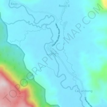
Name: Pilar topographic map, elevation, terrain.
Location: Pilar, Calbayog, Samar, Eastern Visayas, 6710, Philippines (12.23509 124.46715 12.27509 124.50715)
Average elevation: 302 ft
Minimum elevation: 26 ft
Maximum elevation: 1,969 ft
Other topographic maps
Click on a map to view its topography, its elevation and its terrain.