Geolocate

Soche topographic map

Click on the map to display elevation.

About this map

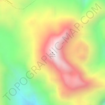
Name: Soche topographic map, elevation, terrain.

Location: Soche, La Bonita, Sucumbíos, Ecuador (0.55119 -77.58241 0.55129 -77.58231)

Average elevation: 11,539 ft

Minimum elevation: 9,967 ft

Maximum elevation: 12,913 ft

Gear up for your next adventure:

📖Nature Tracking Books - Learn to track wildlife and terrain
🎒Gear Packing Cubes - Organize your backpack efficiently
🪶Paracord Bracelet - Survival bracelet with built‑in tools
🛶Inflatable Kayak - Portable kayak for rivers, lakes, and expeditions
🪑Portable Camp Table - Compact table for campsite meals

As an Amazon Associate, this site earns from qualifying purchases at no extra cost to you.