Geolocate

Invermay topographic map

Click on the map to display elevation.

About this map
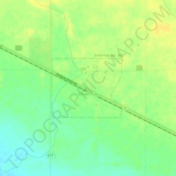
Name: Invermay topographic map, elevation, terrain.

Location: Invermay, Saskatchewan, Canada (51.80146 -103.16400 51.81052 -103.14663)

Average elevation: 1,834 ft

Minimum elevation: 1,795 ft

Maximum elevation: 1,864 ft

Gear up for your next adventure:

🛠️Outdoor Gear Repair Kit - Essential tools to fix gear on the trail
🛰️Handheld GPS Units - Professional satellite navigators for precise backcountry mapping
📻Weather Alert Radios - Stay informed of storm risks while off-the-grid
📖Nature Tracking Books - Learn to track wildlife and terrain
🪶Multi‑Purpose Knife - Useful blade for camp and trail

As an Amazon Associate, this site earns from qualifying purchases at no extra cost to you.