Geolocate

Kayu Ara topographic map

Click on the map to display elevation.

About this map
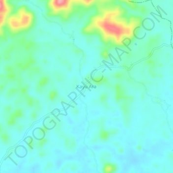
Name: Kayu Ara topographic map, elevation, terrain.

Location: Kayu Ara, Menyuke, Landak, West Kalimantan, Indonesia (0.62344 109.65532 0.66344 109.69532)

Average elevation: 236 ft

Minimum elevation: 161 ft

Maximum elevation: 548 ft

Other topographic maps

Click on a map to view its topography, its elevation and its terrain.

Meranti

Indonesia > West Kalimantan > Landak

Average elevation: 341 ft

Gear up for your next adventure:

🧭GPS Watch Accessories - Bands and chargers for GPS watches
📱Heavy-Duty Phone Cases - Drop-proof and waterproof protection for outdoor navigation
🧥Men's Rain Shells - Premium waterproof and breathable jackets for mountain weather
🧢Sun Protection Hats - Wide-brimmed and UPF-rated hats for high-altitude sun safety
🛰️Handheld GPS Units - Professional satellite navigators for precise backcountry mapping

As an Amazon Associate, this site earns from qualifying purchases at no extra cost to you.