
Thank you for supporting this site ❤️
Make a donation
Make a donation
Gear up for your next adventure:
As an Amazon Associate, this site earns from qualifying purchases at no extra cost to you.
Tel Al Amarna topographic map
Click on the map to display elevation.
Thank you for supporting this site ❤️
Make a donation
Make a donation
Gear up for your next adventure:
As an Amazon Associate, this site earns from qualifying purchases at no extra cost to you.
About this map
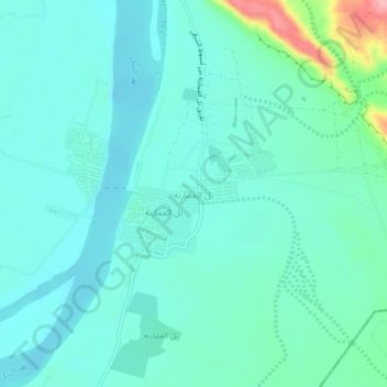
Name: Tel Al Amarna topographic map, elevation, terrain.
Location: Tel Al Amarna, Al Minya, Egypt (27.63970 30.88391 27.67970 30.92391)
Average elevation: 184 ft
Minimum elevation: 105 ft
Maximum elevation: 535 ft
Thank you for supporting this site ❤️
Make a donation
Make a donation
Gear up for your next adventure:
As an Amazon Associate, this site earns from qualifying purchases at no extra cost to you.