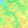
Jelupang topographic map
Click on the map to display elevation.
About this map
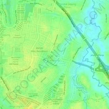
Name: Jelupang topographic map, elevation, terrain.
Location: Jelupang, Serpong Utara, South Tangerang, Banten, Indonesia (-6.27714 106.65913 -6.25187 106.68207)
Average elevation: 98 ft
Minimum elevation: 56 ft
Maximum elevation: 128 ft
Other topographic maps
Click on a map to view its topography, its elevation and its terrain.