
Thank you for supporting this site ❤️
Make a donation
Make a donation
Gear up for your next adventure:
As an Amazon Associate, this site earns from qualifying purchases at no extra cost to you.
Karoi topographic map
Click on the map to display elevation.
Thank you for supporting this site ❤️
Make a donation
Make a donation
Gear up for your next adventure:
As an Amazon Associate, this site earns from qualifying purchases at no extra cost to you.
About this map
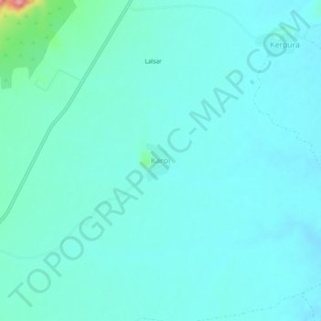
Name: Karoi topographic map, elevation, terrain.
Location: Karoi, Khandela Tehsil, Sikar, Rajasthan, 332709, India (27.62290 75.53482 27.66290 75.57482)
Average elevation: 1,486 ft
Minimum elevation: 1,430 ft
Maximum elevation: 1,854 ft
Thank you for supporting this site ❤️
Make a donation
Make a donation
Gear up for your next adventure:
As an Amazon Associate, this site earns from qualifying purchases at no extra cost to you.