Geolocate

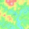
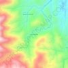
Descanso topographic map

Click on the map to display elevation.

About this map
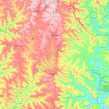
Name: Descanso topographic map, elevation, terrain.

Location: Descanso, Santa Catarina, South Region, 89910-000, Brazil (-26.95168 -53.60624 -26.77061 -53.37583)

Average elevation: 1,467 ft

Minimum elevation: 682 ft

Maximum elevation: 2,185 ft

Other topographic maps

Click on a map to view its topography, its elevation and its terrain.
Três Picos

Brazil > Santa Catarina

Average elevation: 2,608 ft

Residência Fuck

Brazil > Santa Catarina > Monte Castelo

Average elevation: 2,772 ft

Córrego do Fuck

Brazil > Santa Catarina > Canoinhas

Average elevation: 2,579 ft

Alto Pitanga

Brazil > Santa Catarina > Nova Trento

Average elevation: 1,401 ft

Serra da Bateia

Brazil > Santa Catarina > Guabiruba

Average elevation: 1,112 ft

Palhocinha

Brazil > Santa Catarina > Trombudo Central

Average elevation: 1,283 ft

Pericó

Brazil > Santa Catarina > São Joaquim

Average elevation: 4,065 ft

Gear up for your next adventure:

🪑Ultralight Camp Chairs - Portable seating for resting after a long day of mapping
🪓Survival Multi‑Tool - Versatile tool for camp and trail tasks
📶Satellite Messenger - Communication device off‑grid
🎒Gear Packing Cubes - Organize your backpack efficiently
🌡️Handheld Weather Meters - Measure wind, temp, and pressure for safe mountain travel

As an Amazon Associate, this site earns from qualifying purchases at no extra cost to you.