Make a donation
Gear up for your next adventure:
As an Amazon Associate, this site earns from qualifying purchases at no extra cost to you.
Schleiz topographic map
Click on the map to display elevation.
Make a donation
Gear up for your next adventure:
As an Amazon Associate, this site earns from qualifying purchases at no extra cost to you.
About this map
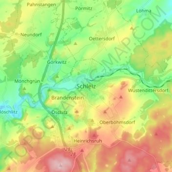
Name: Schleiz topographic map, elevation, terrain.
Location: Schleiz, Saale-Orla-Kreis, Thuringia, 07907, Germany (50.53744 11.76891 50.61744 11.84891)
Average elevation: 1,572 ft
Minimum elevation: 1,302 ft
Maximum elevation: 1,946 ft
Make a donation
Gear up for your next adventure:
As an Amazon Associate, this site earns from qualifying purchases at no extra cost to you.
Other topographic maps
Click on a map to view its topography, its elevation and its terrain.
Make a donation
Gear up for your next adventure:
As an Amazon Associate, this site earns from qualifying purchases at no extra cost to you.
Make a donation
Gear up for your next adventure:
As an Amazon Associate, this site earns from qualifying purchases at no extra cost to you.
Blankenstein
Germany > Thuringia > Saale-Orla-Kreis > Rosenthal am Rennsteig
Average elevation: 1,621 ft
