Geolocate

Coffeeville topographic map

Click on the map to display elevation.

About this map

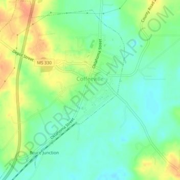
Name: Coffeeville topographic map, elevation, terrain.

Location: Coffeeville, Yalobusha County, Mississippi, United States (33.95989 -89.69748 33.98978 -89.66873)

Average elevation: 259 ft

Minimum elevation: 203 ft

Maximum elevation: 341 ft

Yalobusha County trails, hiking, mountain biking, running and outdoor activities

Other topographic maps

Click on a map to view its topography, its elevation and its terrain.

Gear up for your next adventure:

🥘Titanium Cookware - Durable, featherlight pots and pans for backpacking
🚗GPS Dash Cams - Record your scenic drives through mountain passes and canyons
📦Gear Storage Bags - Organize and protect outdoor equipment
🛏️Cold Weather Sleeping Bag - Warm sleeping bag for cold conditions
🧥Waterproof Jacket for Hiking - Breathable and rugged rain jacket for outdoor excursions

As an Amazon Associate, this site earns from qualifying purchases at no extra cost to you.