Geolocate

Flatwood topographic map

Click on the map to display elevation.

About this map

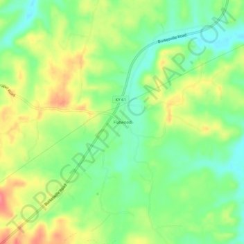
Name: Flatwood topographic map, elevation, terrain.

Location: Flatwood, Adair County, Kentucky, United States (37.02784 -85.38163 37.06784 -85.34163)

Average elevation: 827 ft

Minimum elevation: 722 ft

Maximum elevation: 958 ft

Adair County trails, hiking, mountain biking, running and outdoor activities

Gear up for your next adventure:

👟Trail Running Shoes - Lightweight shoes for trail runners
Backpacking Tent - Lightweight and durable tent for multi‑day hikes
📷Action Camera - Capture your outdoor adventures in HD
🧦Merino Wool Socks - Moisture-wicking, blister-preventing socks for long treks
🥾Men's Hiking Boots - Durable, waterproof footwear for rugged terrain and steep inclines

As an Amazon Associate, this site earns from qualifying purchases at no extra cost to you.