Geolocate

May-it topographic map

Click on the map to display elevation.

About this map

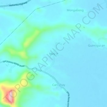
Name: May-it topographic map, elevation, terrain.

Location: May-it, Basey, Samar, Eastern Visayas, Philippines (11.28809 124.99526 11.32809 125.03526)

Average elevation: 118 ft

Minimum elevation: 3 ft

Maximum elevation: 1,043 ft

Gear up for your next adventure:

🛠️Backpacking Tool Kit - Essential toolkit for outdoor repairs
🔭Telescopic Hiking Pole - Adjustable pole for hiking stability
🧤Hiking Gloves - Protective gloves for rugged trails
🦶Carbon Trekking Poles - Reduce knee impact on steep descents with ultra-light poles
🌄Hiking Binoculars - Compact binoculars for scenic views and trail spotting

As an Amazon Associate, this site earns from qualifying purchases at no extra cost to you.