Geolocate

Sarjapur topographic map

Click on the map to display elevation.

About this map

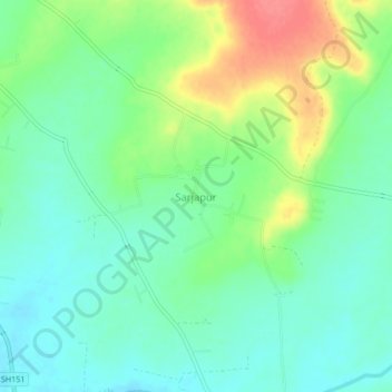
Name: Sarjapur topographic map, elevation, terrain.

Location: Sarjapur, Barshi, Solapur District, Maharashtra, 413402, India (18.01234 75.81385 18.05234 75.85385)

Average elevation: 1,637 ft

Minimum elevation: 1,562 ft

Maximum elevation: 1,781 ft

Gear up for your next adventure:

🌡️Portable Weather Meter - Track weather conditions on the trail
🏔️Mountain Trail Maps - High‑detail maps for popular peaks
🧤Hiking Gloves - Protective gloves for rugged trails
🧤Tactile Hiking Gloves - Keep hands warm while operating GPS and smartphone screens
🔥Fast-Boil Camping Stoves - Efficient cooking systems for quick trail meals

As an Amazon Associate, this site earns from qualifying purchases at no extra cost to you.