
Lake Seven topographic map
Click on the map to display elevation.
About this map
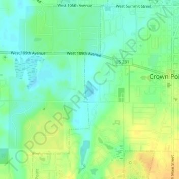
Name: Lake Seven topographic map, elevation, terrain.
Location: Lake Seven, Crown Point, Lake County, Indiana, United States (41.41363 -87.38203 41.41635 -87.38011)
Average elevation: 722 ft
Minimum elevation: 682 ft
Maximum elevation: 778 ft