
Thank you for supporting this site ❤️
Make a donation
Make a donation
Gear up for your next adventure:
As an Amazon Associate, this site earns from qualifying purchases at no extra cost to you.
Mpagne topographic map
Click on the map to display elevation.
Thank you for supporting this site ❤️
Make a donation
Make a donation
Gear up for your next adventure:
As an Amazon Associate, this site earns from qualifying purchases at no extra cost to you.
About this map
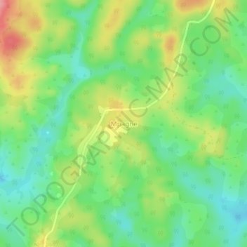
Name: Mpagne topographic map, elevation, terrain.
Location: Mpagne, Deuk, Mbam-et-Inoubou, Centre, Cameroon (5.15496 11.11378 5.19496 11.15378)
Average elevation: 2,195 ft
Minimum elevation: 2,060 ft
Maximum elevation: 2,405 ft
Thank you for supporting this site ❤️
Make a donation
Make a donation
Gear up for your next adventure:
As an Amazon Associate, this site earns from qualifying purchases at no extra cost to you.