
Thank you for supporting this site ❤️
Make a donation
Make a donation
Gear up for your next adventure:
As an Amazon Associate, this site earns from qualifying purchases at no extra cost to you.
Wangerooge topographic map
Click on the map to display elevation.
Thank you for supporting this site ❤️
Make a donation
Make a donation
Gear up for your next adventure:
As an Amazon Associate, this site earns from qualifying purchases at no extra cost to you.
About this map
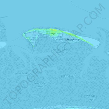
Name: Wangerooge topographic map, elevation, terrain.
Location: Wangerooge, Frise (arrondissement), Basse-Saxe, 26486, Allemagne (53.74149 7.84662 53.79456 8.03030)
Average elevation: 0 ft
Minimum elevation: -10 ft
Maximum elevation: 36 ft
Thank you for supporting this site ❤️
Make a donation
Make a donation
Gear up for your next adventure:
As an Amazon Associate, this site earns from qualifying purchases at no extra cost to you.