
Make a donation
Gear up for your next adventure:
As an Amazon Associate, this site earns from qualifying purchases at no extra cost to you.
Pearston topographic map
Click on the map to display elevation.
Make a donation
Gear up for your next adventure:
As an Amazon Associate, this site earns from qualifying purchases at no extra cost to you.
Pearston
Pearston is located about 160 kilometres (100 mi) north of Port Elizabeth, on the banks of the Voël River. It is situated at an altitude of 710 metres (2,330 ft) on the Camdeboo plain. The Coetzeesberge, a spur of the Sneeuberge (a mountain), lie to the north, and the Groot-Bruintjieshoogte lie to the east. Pearston is the meeting point of two regional roads: the R63 from Graaff-Reinet to KwaNojoli and Cookhouse, and the R337 from Jansenville to Cradock.
Make a donation
Gear up for your next adventure:
As an Amazon Associate, this site earns from qualifying purchases at no extra cost to you.
About this map
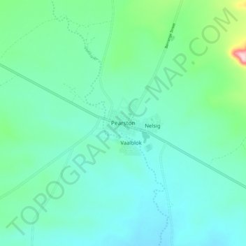
Name: Pearston topographic map, elevation, terrain.
Average elevation: 2,388 ft
Minimum elevation: 2,224 ft
Maximum elevation: 3,104 ft
Make a donation
Gear up for your next adventure:
As an Amazon Associate, this site earns from qualifying purchases at no extra cost to you.